
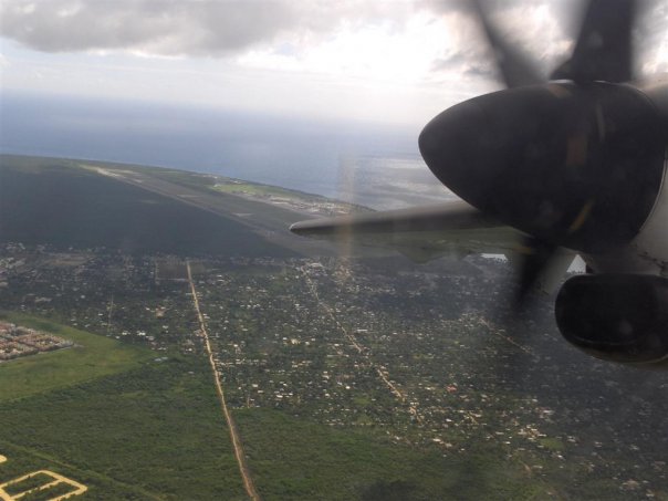
 Photography: Cuyaya (talk). · Public domain. Reference photograph; airport facilities and access may have changed since it was taken.
La Caleta, east of Santo Domingo
Las Américas Airport is in La Caleta, with access from Ruta 66 and Autopista Las Américas. It serves the Santo Domingo area but is outside the central city. Use the airport name and SDQ code when arranging transport.
Orientation before navigation
The map below shows the airport and wider Santo Domingo area. It is an orientation aid, not a promise of an open entrance, parking space or meeting point. Follow current signs and provider instructions.
Where are you staying?
Use a complete address and ask your host which entrance to use. A map pin may identify a building rather than a suitable vehicle stop. SantoDomingoMap.com supports research into neighborhoods, attractions, restaurants and accommodation.
Connections beyond the capital
Boca Chica and Juan Dolio are separate coastal destinations. La Romana and Punta Cana require different onward journeys again. Ask for a route-specific plan and current travel estimate. Traffic and stops make fixed travel-time promises unreliable.
Location & maps
Orientation map of Las Américas Airport and Santo Domingo. Confirm the exact terminal entrance and meeting point with your provider.
OpenStreetMap · © OpenStreetMap contributors